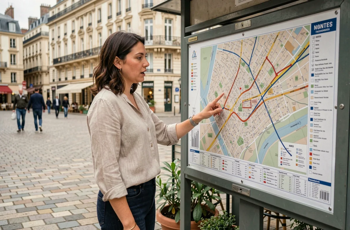
Strictly speaking, a city map is a scaled-down cartographic representation showing the location of streets, buildings and infrastructure. Several types of maps are available online for Nantes, each designed for a different purpose: finding your way around on foot, checking property records, tracking construction work or finding accessible transport. Knowing which one to open before you start searching saves time and avoids using an interface that does not meet your actual needs.
Which Nantes map should you choose for your needs?
The most common mistake is looking for a cadastral parcel on a tourist map, or trying to plan a walking tour through the land registry portal. Each map has a specific scope.
The Nantes Métropole interactive map (available via data.nantesmetropole.fr) brings together public datasets on topics such as mobility, facilities, public Wi-Fi and election results. It is designed for cross-referencing geolocated information across the metropolitan area, not for viewing walking routes.
The cadastral map, available on france-cadastre.fr, is intended for property-related searches. It shows parcel references, cadastral sections and planning permits (development permits and demolition permits). It covers postcodes 44000, 44100, 44200 and 44300 for the municipality of Nantes (INSEE code 44109).
To plan a visit or cultural outing, the Voyage à Nantes website offers tourism-focused map resources, with points of interest linked to the city’s events and art installations.
Finding all these mapping resources through a centralised Nantes site map saves time by taking you straight to the right category of information.

Cadastral map of Nantes: parcels, sections and property data
Nantes’s digital cadastre is based on an interactive map that outlines each parcel and identifies it with a section number. You can zoom in to building level and view the exact boundaries of a plot of land.
What the cadastre actually shows
A cadastral parcel record in Nantes provides access to several types of information:
- The cadastral reference (section and number), required for any notarial or property-related procedure
- The type of premises (residential or non-residential), with an inventory listing several thousand entries across the municipality
- Development and demolition permits filed for the parcel, including the date, applicant and area concerned
- The option to download a cadastral map sheet in PDF format, useful for putting together an administrative file
To find out who owns a parcel, you must submit a request to the land registration office or Nantes City Hall (29 rue de Strasbourg, 44094 Nantes Cedex 1). The online cadastre does not display the owner’s name.
Surveyors and boundary marking
If checking the cadastral map raises questions about a plot’s boundaries, a licensed surveyor can help. Several firms operate close to Nantes city centre, some less than a kilometre away.
Open data and metropolitan mapping
Nantes Métropole publishes its geographic data through the Open Data portal (data.nantesmetropole.fr). This portal is more than a static map: it offers downloadable, filterable datasets organised by topic.
Available categories cover mobility, citizenship, health and social services. An internal search engine lets you enter a keyword (transport, waste, Wi-Fi) to go straight to the relevant dataset. The portal also provides tools for creating custom maps and charts.
For distributing large volumes of geographic data (including orthophotography), Nantes Métropole uses the national Géoplateforme (cartes.gouv.fr). This technical choice addresses two constraints: storing large raster files and simplifying distribution processes. Nantes Métropole’s Geography and Observation Department oversees this integration.

Check that Nantes maps are up to date
An outdated map can be misleading, especially in a city where construction work regularly changes roads and pedestrian access. Each mapping source has its own update schedule.
The Open Data portal displays the date each dataset was last modified. Before using a thematic map, simply check this date at the bottom of the dataset page to assess its reliability. The most frequently viewed and downloaded datasets are generally updated more often.
The digital cadastre follows a national update schedule. Property changes (parcel divisions, new buildings) may take several months to appear after they have been officially registered. For a property transaction, cross-checking the cadastral map against a surveyor’s report remains the most reliable approach.
Tourist maps from Voyage à Nantes change with the cultural seasons. A route mapped in summer may no longer match the installations on display in winter.
Accessibility and adapted routes on the Nantes map
Planning an accessible journey in Nantes means combining several sources. The Open Data portal lists transport and mobility data, but finding a route suited to people with reduced mobility requires filtering by type of facility.
Accessible tram and bus stops, lowered kerbs and reserved parking spaces are listed in separate datasets. No single map brings all this information together in one view. The most effective approach is to use the portal’s search engine with specific terms (accessibility, PRM, mobility), then overlay the results on the interactive map.
The City of Nantes and its metropolitan authority publish this data in accordance with the French Digital Republic Act, ensuring it is publicly available and reusable. Residents and visitors alike can use it freely to plan a journey.
Choose the right map before you start searching, check when it was last updated, and cross-reference sources when property or accessibility is at stake: these three habits cover the vast majority of mapping searches in Nantes.